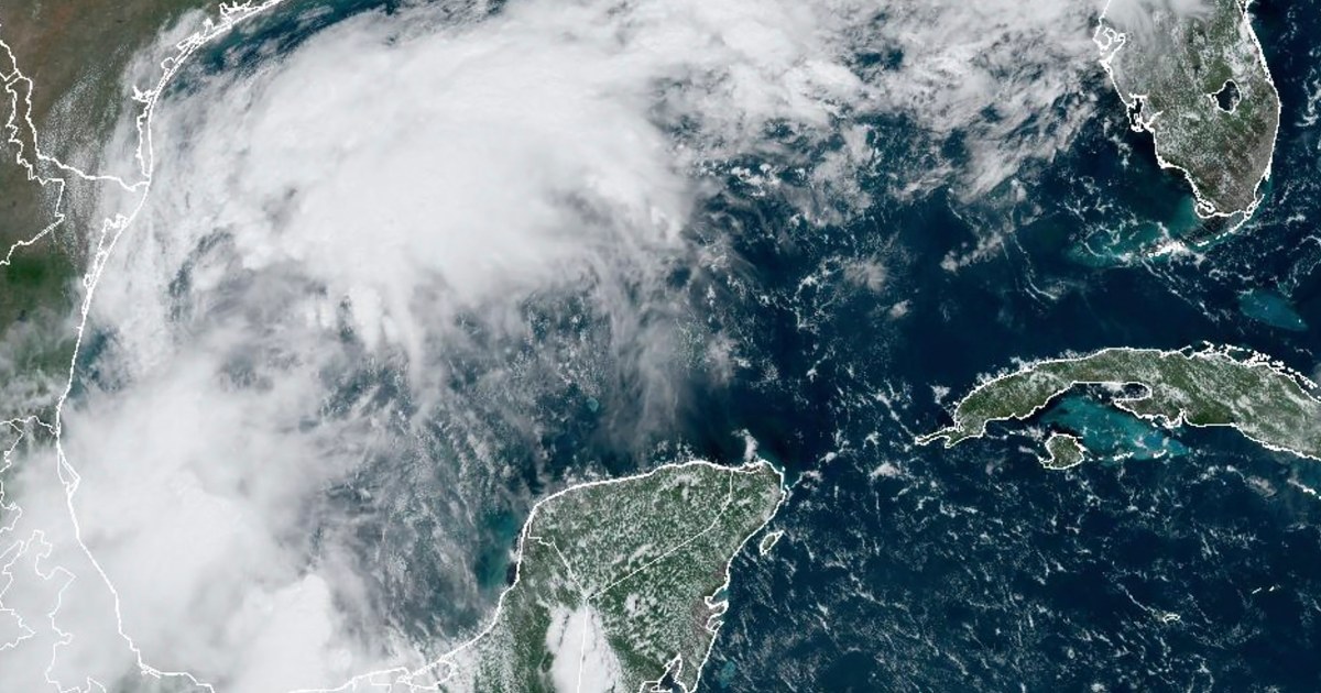
Tropical Storm Francine forecast to strengthen into hurricane aiming for U.S. Gulf Coast
A strengthening Tropical Storm Francine is expected to become a hurricane before it reaches the U.S. Gulf Coast by midweek.
By midday Monday, the storm was in the Gulf of Mexico, about 180 miles south-southeast of the mouth of the Rio Grande with maximum sustained winds of 60 mph and higher gusts, according to the National Hurricane Center. It’s moving north-northwest at 5 mph and is forecast to move offshore of the northern Gulf of Mexico through Tuesday, and approach the Louisiana and upper Texas coastline Wednesday.
“Francine is expected to become a hurricane before it reaches the northwestern U.S. Gulf Coast on Wednesday,” the hurricane center said.
A hurricane watch is in effect for almost the entire Louisiana coast from Cameron to Grand Isle.
The storm is expected to bring 4 to 12 inches of rain and trigger flash flooding along the far coast of northeast Mexico, southern Texas, southern Louisiana and southern Mississippi into Thursday morning, the hurricane center said.
“The combination of a dangerous storm surge and the tide will cause normally dry areas near the coast to be flooded by rising waters moving inland from the shoreline,” the hurricane center said, adding that the deepest water will occur along the coast and be accompanied by “large and dangerous waves.”
Louisiana’s coast from Cameron to Port Fourchon could get 5 to 10 feet of storm surge. The area from Cameron to High Island on the eastern coast of Texas could also see 3 to 5 feet of storm surge.
A storm surge watch is in effect for High Island, Texas, to the Mississippi and Alabama border, and Louisiana’s Vermilion Bay, Lake Maurepas and Lake Pontchartrain.
Thus far this 2024 Atlantic storm season, which started in June and ends Nov. 30, there have been five named storms, three of which became hurricanes.
August’s tropical cyclone activity “was a little below normal” in terms of the number of named storms, the hurricane center said. Debby made landfall in the Big Bend region of Florida as a Category 1 hurricane before moving offshore and making landfall again as a tropical storm in South Carolina in early August, while Ernesto became a Category 1 hurricane when it moved over Bermuda in mid-August.
The National Oceanic and Atmospheric Administration had predicted above-normal hurricane activity in the Atlantic basin this year, forecasting a range of 17 to 25 total named storms — which is defined by having winds of 39 mph or higher — with eight to 13 forecast to become hurricanes. The above-normal activity was forecast because of near-record warm ocean temperatures in the Atlantic, La Niña conditions in the Pacific, reduced Atlantic trade winds and less wind shear.

